Our Weather -Space and Earth
Yesterday was Columbus Day or Indigenous Peoples Day. Ancient people around the world used the sun and moon cycles to make weather predictions guiding their agricultural farming communities. In modern times, some make weather predictions using the sun and lunar cycles that are sometimes more accurate than conventional meteorological forecasting.
In the past ten years, the number of earthquakes and extreme weather events have increased. Some say it is due to climate change, some say it is due to geoengineering, cloud seeding, and other human-caused interference in the natural earth system. However these events are created, we have witnessed the devastation of communities and areas through flooding, wildfires, earthquakes, hurricanes, and tornadoes.
We now have approximately two hundred weather (meteorological) satellites in space and thousands of sensors in our air and waters that collect daily, weekly, and monthly data. The data sets have become enormous and bulky for human interpretation, previously referred to as “big data.” The data includes videos, pictures, raw data from sensors, etc. Artificial intelligence has assisted us to cull through the data and make weather predictions from the patterns.
In the United States, two government agencies have traditionally monitored Space Weather data, National Oceanic and Atmospheric Administration (NOAA) and Earth data, United States Geological Survey (USGS). We look to the data from these agencies to be reliable and scientifically vetted. If you go to the Internet and YouTube, there are several individuals, non-profits, universities who also monitor earth and space data.
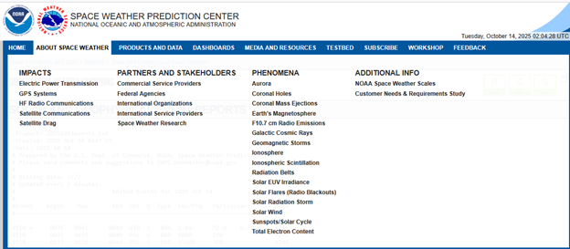
SPACE WEATHER
On the NOAA Space Weather Predicition Report page: The screenshot (below) shows the type of data and reporting that is available:
https://www.swpc.noaa.gov/products/solar-and-geophysical-event-reports
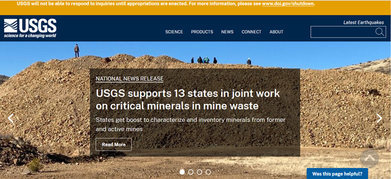
EARTH DATA
The USGS has been busy the last few years with the rise of natural hazards. Space weather like solar flares and geomagnetic storms have caused or advanced some natural hazards—especially earthquakes and tsunamis. They also can be responsible for interrupted or loss of communications impacting our energy grids, GPS systems, and cellular networks.
National security issues to domestically explore, process and store more critical minerals and natural resources are also a current focus of the USGS. The current administration has released several Executive Orders to increase our domestic exploration.
- Natural Hazards,
- Earthquakes
- Energy and Minerals
- Water Resources
- Ecosystems
- Other (Core Science Areas)
One can explore the USGS website, https://www.usgs.gov/ in more detail on each of these mission areas above.
This Thursday (October 16, 2025) and Friday (October 17, 2025), I will be attending the annual Alabama Energy, Mining and Mineral Institute meeting at the University of Alabama. Alabama is rich in coal and oil and gas resources. The only commercially mineable critical mineral discovered in Alabama so far is graphite.
This opening post on our Space Weather and Earth Data will continue as a series in the next blog.